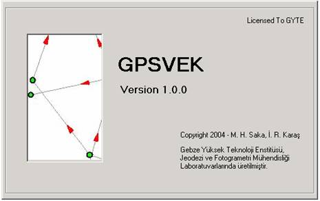
The Software Package of GPSVEK.
GPSVEK
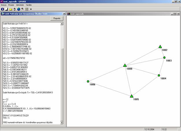
GPSVek software process the GPS vector measurements. The main idea of this study is set up
archives of GPS measurements in a database coming from different software. The
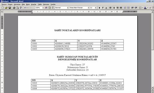
program also performs a common adjustment for GPS vectors and reports the
results. Here is the some snapshots of the software:
The Software Package of GPSVEK.
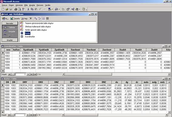
Structure of Database
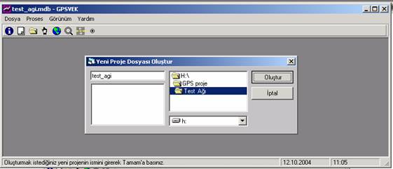
Creating a new project
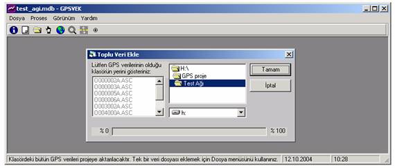
Data Transferring
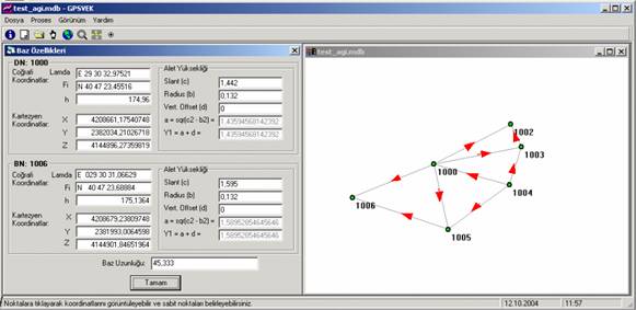
Querying and viewing of base measurements by clicking the red arrows.
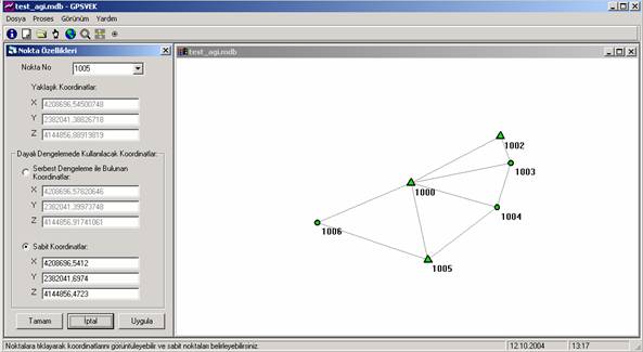
Querying and
viewing of
For more information:
Halis Saka, Ismail Rakip Karas, Cumhur Sahin, "Developing a Software Package for GPS Network: GPSVEK", (in Turkish), National Geodesy Comission of Turkey (TUJK) Scientific Meeting 2004: Geodetic Networks on Engineering Survey, 14-16 October 2004, Zonguldak Turkey. [ Poster ] [ Full Paper (PDF) ]