Converter

Converter carries out coordinate and parcel data transformation was developed in Visual Basic programming language. This programme accepts the coordinate and parcel data files of nationally well known CADD style software (NetCAD and EGHAS), and then automatically transforms them to a Geo-database.


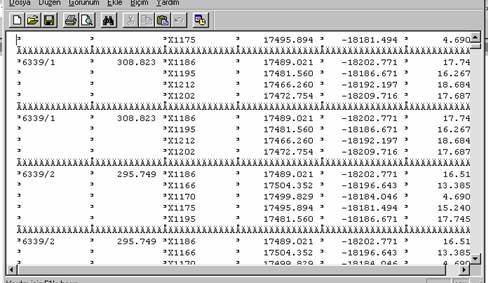
EGHAS's data file with “.ALN” extension.

NetCAD's data file with “.CKS” extension.


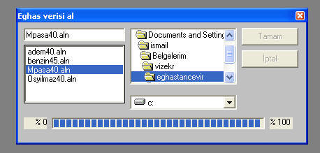
Interface of the Converter
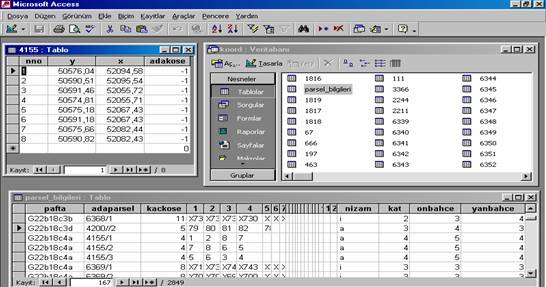

Geo-Database


For more information:

I. R. Karas, I. Baz, T. Kavzoglu, "Spatial Data Interchange and Converter Developing", (in Turkish), 9th Turkish Scientific and Technical Mapping Symposium, April 2003, Ankara, Turkey. [ Poster ] [ Full Paper (PDF) ]

  1.