
The Software of IRKGeo.
IRKGeo
IRKGeo program was developed for
some surveying calculations in 90's with Basic Language. It performs
calculations some of the common land surveying problems. Here
is the some snapshots and remarks of the software:

The Software of IRKGeo.

Main menu of the IRKGeo.

Storing and arrangement of point numbers and their coordinates .

Road Design Calculation menu.

Road cross-section area calculation.

Road route excavation and backfill volume calculation (Bruckner values).
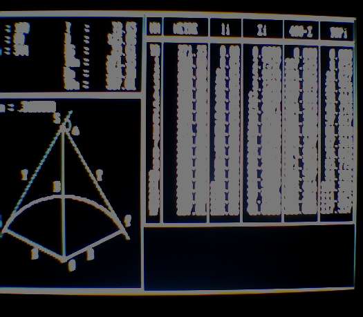
Calculation of the road's curve application coordinates.
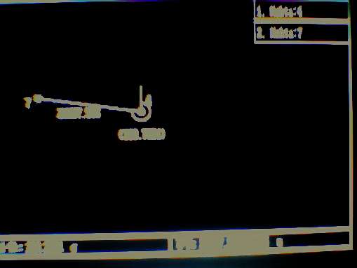
Calculation of the azimuth and distance.
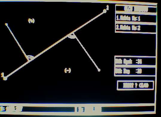
Side point coordinate calculation
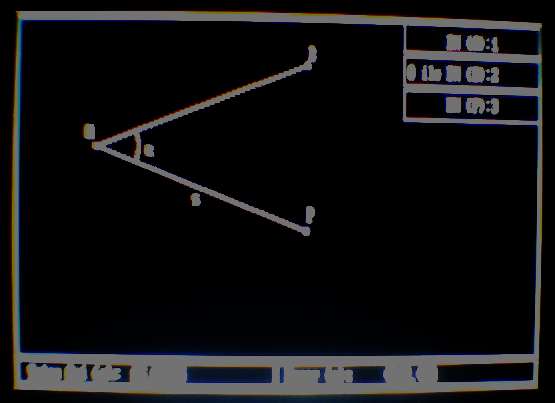
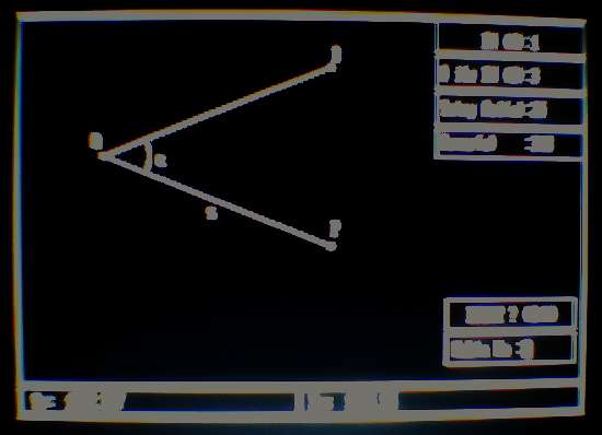
Transformation of polar coordinates to ortogonal coordinates.
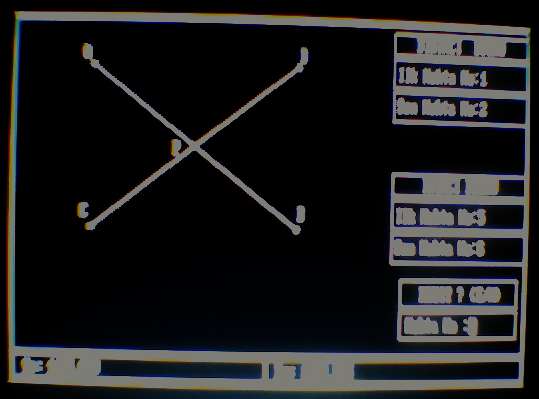
Calculation of the intersection point coordinates.
For more information (in Turkish):
[
Details (HTM) ] [
Details (PDF) ] [
Download the Program
]